
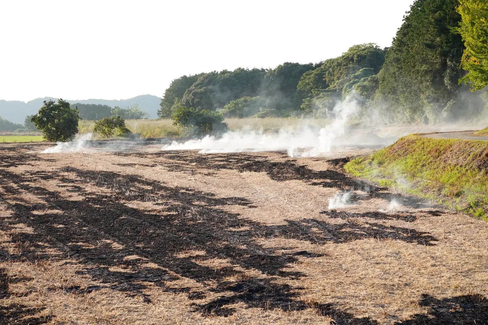
Seventy-five of the 269 forest fires recorded since the start of the year started on farmland, and they burned 12,832 decares, agriculture minister Plamen Abrovski told parliament during question time.
In total, 21,597 decares burned between 1 January and 28 September, including 3,594 decares of crown fires.
"More than half of the area hit by forest fires caught fire after flames spread from farmland," Abrovski said.
The ministry broadly backs bringing back a system to flag farmland at high risk of fire near forests and villages. But first it wants a full review of what data already exist, what the law allows and which bodies are responsible for what, the minister said.
The review will look at where farmland and forest land sit and how close they are to villages and other at-risk sites. It will also look at the plots themselves, how they are farmed, the terrain and how easy they are to reach, as well as past fires and current farm weather conditions. Abrovski said the work needs input from the ministry, the Forestry Executive Agency, fire safety and civil protection services, regional and municipal authorities, and farmers.
Changes to the law on farm support have set up a database of permanent crops, which will be built and kept up to date. By 31 May 2027, all existing areas under permanent crops must be checked and confirmed.
Once the checks are done and the data mapped, the ministry will have a clearer picture of where these areas lie and where the fire risk near forests and villages is higher, Abrovski said.
Fire protection for all forest land is set out in ten-year plans, backed up by yearly ones. Under these plans, crews also build and maintain water sources, fire depots, roads and fire lookout towers, besides doing fire-prevention work.
In 2026, that yearly fire-prevention work will include 1,105 km of firebreaks, 1,419 km of forestry barriers and 1,870 km of mineralized strips.

Comments (0)
No comments yet.